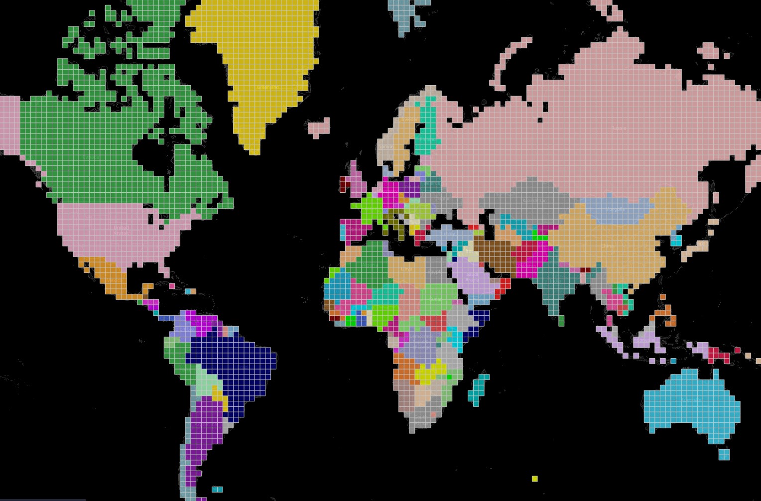
This article describes a fairly simple method for building pixel maps. To create a pixel map, you need to convert geospatial data (continent shapes, countries) into pixels, which means dividing the map into identical polygons with assigned polygon sizes. I have an example of such a map on Tableau Public. In this example, you can…

